
Masterplan Visualisation
Show buildings, open areas, roads, amenities and the overall development structure in one clear project view.
Large developments can be difficult to grasp through complex plans alone. archVi creates masterplan, aerial CGI and isometric visualisation that helps audiences understand scale, layout and spatial relationships.
 VISUAL STORIES / REAL ESTATE
A large development is more than a collection of buildings. archVi connects buildings, amenities, open spaces, access routes and development phases into visual formats that make the wider site easier to understand.
Show buildings, open areas, roads, amenities and the overall development structure in one clear project view.
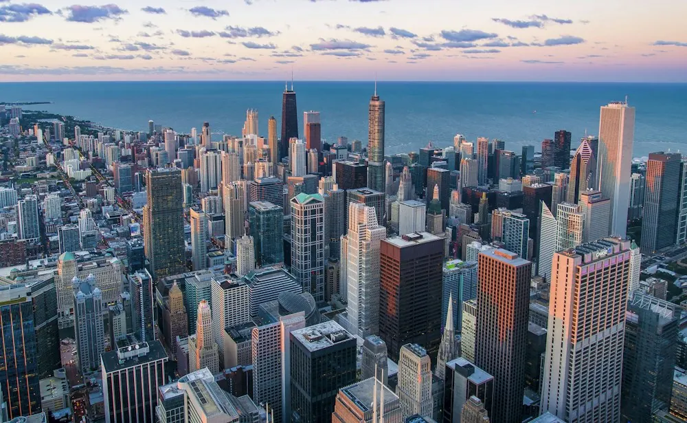
Use elevated CGI perspectives to communicate scale, context, access and relationships across a large site.
Present buildings and spatial relationships from an elevated angle that makes complex layouts easier to read.
Focus on a defined part of a larger development, helping audiences understand specific clusters and their relationship to the wider project.
Highlight amenities, development phases and key site information through agreed labels and visual overlays.
Clarify plot arrangements, land parcels, access and site structure where the project requires a more detailed view.
Masterplan visualisation can connect the overall development with its individual clusters, amenities, open spaces, access routes and development phases, giving viewers a clearer understanding of how separate elements fit together.
Show the full site and its major components in one connected view.
Bring attention to specific areas within a larger residential or mixed development.
Show where key shared spaces, landscaped areas and amenities sit within the development.
Differentiate approved phases and future development using agreed visual cues and project information.
Review approved site plans, architectural drawings, models, layouts, landscape references and other project information.
Define viewpoint, level of detail, labels, overlays, styling and intended audience before production.
Develop the required 3D environment, site elements, buildings, landscape and visual details.
Check geometry, labels, phasing and other project information through defined review stages.
Prepare the agreed masterplan, aerial or isometric views for final delivery.
For CGI aerial and masterplan work, archVi's scope covers the agreed visualisation and content production. Physical drone capture, permissions and interactive software are separate requirements unless specifically contracted.
Approved site plans, layouts and project information required for visualisation.
Masterplan, aerial CGI and isometric views with agreed labels, dimensions and overlays.
Defined review rounds and factual approvals before final delivery.
Approved outputs provided in the agreed formats and specifications.
Reference imagery for design review.
Discover the formats, project contexts and creative capabilities behind the work.
Explore Our WorkThe service can include masterplan views, bird's-eye or aerial CGI, isometric visualisation, cluster views, plot layouts and agreed labels or overlays. The exact output mix depends on project scale, communication objective, available inputs and required formats.
Typical inputs include approved site plans, architectural drawings, layouts, 3D models where available, landscape information and project references. Labels, phasing, dimensions and other factual details should be approved by the relevant project team before final delivery.
The brief establishes the required views, level of detail, labels, overlays, output formats, timeline and review stages. These are agreed before production so the team knows what is being created, who approves factual information and how changes are handled.
For CGI masterplan and aerial visualisation, physical site access and flight permissions are not normally part of the visualisation itself. Where physical capture is separately commissioned, responsibilities for permissions, access, safety and weather should be defined with the relevant production provider.
Factors include site size, number of buildings or plots, modelling requirements, level of detail, labels and overlays, number of views, source-data readiness, output formats and review rounds. The final scope, timeline and cost are established during briefing.
Relevant proof should show township, plotted or apartment developments at different scales, with the source information and final visual output where possible. Each example should identify the project context and the actual scope delivered by archVi.
Tell us the development type, site information, views you need and intended audience. We'll help define the right masterplan, aerial CGI or isometric visualisation scope.