
TRUSTED BY TEAMS BUILDING WHAT’S NEXT
Put the Project in Context
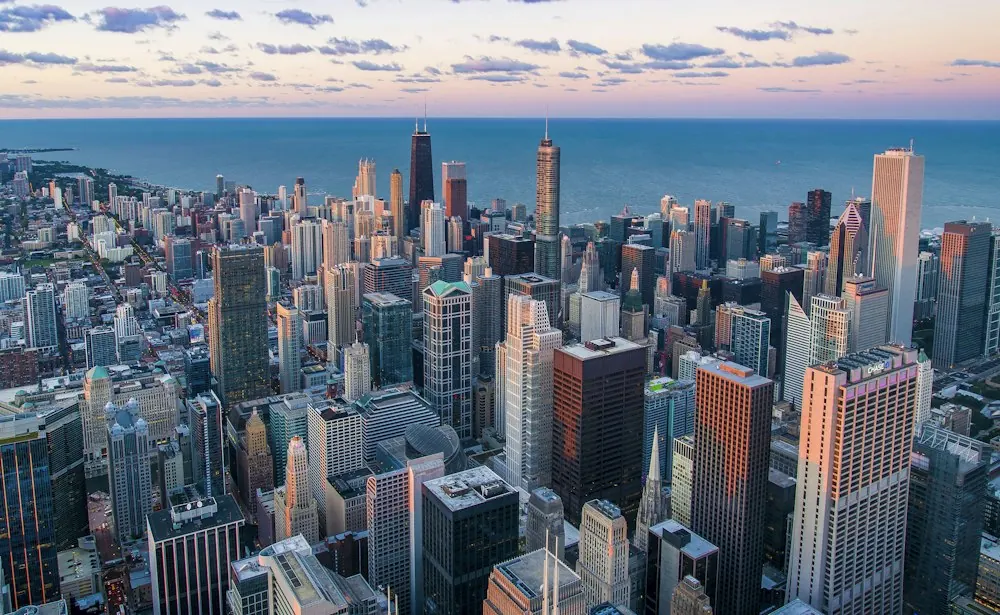
Aerial content can show more than the building itself. It can establish project scale, surrounding landscape, access, connectivity, neighbouring developments and the wider environment around the site.
Choose the Aerial Format You Need
Create cinematic aerial films that showcase the project, surroundings and wider development context.
Explore Real Estate Drone Films →Create navigable aerial content that allows audiences to explore the project and its surrounding environment from an aerial viewpoint.
Explore Interactive Drone →Visualise how the project connects to important roads, landmarks and surrounding locations.
Explore Route & Connectivity Films →Document development as it takes shape through planned, repeatable aerial and ground-level captures.
Explore Construction Progress Shoots →Capture finished architecture, landscapes, amenities and the project's relationship with its surrounding environment.
Explore Completed Project Shoots →Focus aerial capture on the project's setting, surroundings, views and physical context.
Explore Location Drone Shoots →Show What the Project Sits Within
Project Setting
Establish the relationship between the development, its surroundings and wider environment.
Scale & Context
Give audiences an elevated view of the project and its relationship to neighbouring areas.
Access & Connectivity
Show roads, landmarks and important destinations around the development.
Construction Progress
Create planned visual documentation that shows how the project changes over time.
Completed Development
Present the finished property, landscape, amenities and surrounding context through polished visual content.
From Shoot Plan to Final Content
Define the Objective
Establish whether the requirement is project storytelling, location communication, progress documentation or completed-project capture.
Plan the Shoot
Identify locations, viewpoints, flight requirements, permissions, site conditions and required output formats.
Capture
Conduct the agreed aerial or drone shoot according to the production plan and site conditions.
Produce
Edit and structure the captured material around its intended communication format and approved direction.
Review & Deliver
Complete agreed revisions and provide the approved final content in the required formats and specifications.
Plan the Shoot Before Capture Begins
Aerial production depends on the project location, required viewpoints, site conditions and intended outputs. These requirements should be defined before the shoot so responsibilities and dependencies remain clear.
Project Location
Confirm the project site, surrounding areas, access requirements and locations that need to be captured.
Shot Requirements
Define viewpoints, routes, sequences, capture areas and the type of aerial content required.
Permissions & Site Access
Confirm relevant permissions, site access, safety requirements and operating constraints before production.
Weather & Conditions
Account for weather, site conditions and other factors that may affect when and how aerial capture can take place.
Outputs & Usage
Define required formats, deliverables, intended applications and any agreed adaptations before production.
Explore Related Drone Services
Selected Work
Frequently Asked Questions
Depending on the brief, the service can include drone photography, aerial films, interactive aerial content, route and connectivity films, construction progress documentation and completed-project shoots. The exact scope depends on the project objective, location, required outputs and agreed responsibilities.
Drone films work well for project storytelling and launch communication, while aerial photography can provide focused views of architecture, scale and context. Interactive drone content is useful when audiences need a more immersive way to explore a project or its surroundings.
Responsibilities should be established during project planning based on the location and shoot requirements. Site access, permissions, safety requirements, weather conditions and flight constraints should be confirmed before production and assigned to the appropriate parties.
Weather, site conditions, location restrictions and required viewpoints can affect when and how a shoot is conducted. A defined shot plan helps identify capture points, access requirements and suitable production conditions before the team begins filming.
Potentially, if the capture plan is designed around those applications from the start. Required viewpoints, project areas and output formats should be identified in advance so the captured material can support the agreed communication requirements.
Relevant proof should include drone films, aerial photography, interactive aerial content and project documentation across different real estate contexts. Each example should provide enough project context to understand the requirement and archVi's actual contribution.
Ready to Put Your Project in Context?
Tell us what you need to show, where the project is located, the intended audience and your timeline. We'll help define the right aerial production scope.