
Project Surroundings
Show the neighbourhood, landscape and wider environment around the development.
A project is shaped by more than its site boundary. archVi creates aerial content that helps audiences understand the surrounding landscape, neighbourhood, access and wider setting.
 VISUAL STORIES / REAL ESTATE
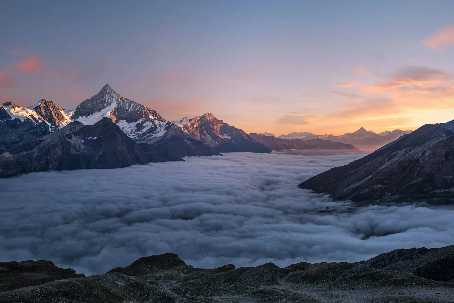
Location-led aerial content helps audiences understand where a development sits and how it relates to the places around it. The right viewpoints can turn geographic context into useful visual communication.
Show the neighbourhood, landscape and wider environment around the development.
Capture key approach roads and access points that help explain how the project is reached.
Show important locations that provide useful context around the project.
Visualise the relationship between the development and its surrounding network.
Show how the project sits within the larger built and natural environment.
Determine the locations, routes, landmarks and surrounding features that matter to the audience.
Define the required viewpoints, locations, filming requirements and project-stage considerations.
Produce the agreed aerial imagery or footage based on the approved shoot plan.
Edit and organise the material around the intended project or location narrative.
Refine the content through agreed review stages and deliver the final approved formats.
Establish the project's setting and wider context from the first introduction.
Help audiences understand scale, surrounding environment and the relationship between different areas.
Give visitors a clearer understanding of the project's surroundings and approach.
Help audiences explore location and context before travelling to the project.
Create visual material that supports broader project and location storytelling.
Define the project, surrounding areas and viewpoints that need to be covered.
Establish the required aerial views, sequences and intended applications.
Confirm access, permissions, safety requirements and other location-specific constraints.
Assess conditions that may affect when and how the shoot can be conducted.
Define the required formats, adaptations, review stages and delivery requirements.
Reference imagery for design review.
Discover the formats, project contexts and creative capabilities behind the work.
Explore Our WorkGive audiences a more immersive way to explore project surroundings.
Show how projects connect to important roads, destinations and landmarks.
Document development progress through planned aerial and ground-level captures.
Capture finished developments and their relationship with the surrounding environment.
The service can include planned aerial capture focused on a project's surroundings, access, landmarks, neighbourhood and wider setting. The exact scope depends on the project's communication requirements, location and agreed capture plan.
Useful inputs include the project location, required viewpoints, surrounding areas, intended audience, existing visual references and relevant site or access requirements. The final scope also depends on the type of aerial content required.
Yes. Location-focused aerial content can show the development in relation to its landscape, neighbourhood, roads, landmarks and wider environment where these views form part of the agreed scope.
Yes. Aerial location content can be combined with drone films, route and connectivity films, 3D visualisation, project films or immersive experiences when a broader communication requirement calls for multiple formats.
Responsibilities should be clearly defined during scoping. Site access, permissions, safety requirements, weather conditions and flight constraints should be assessed before production, with external operators or providers identified where applicable.
Location, weather and flight conditions, shoot complexity, required viewpoints, travel, capture volume, editing requirements, review rounds and other project dependencies can affect the timeline and cost.
Tell us what audiences need to understand about the project's surroundings, access and location context. We’ll help define the right aerial scope.